Free Satellite Imagery: How to Check a Claim Yourself
Satellite imagery is free at NASA, USGS and Copernicus. How to check whether a picture is current, compare then against now, and verify a fire in minutes.
Most people who look for satellite imagery want to know where the storm is going. Fair enough, and there are excellent free sites for exactly that. What gets lost along the way is the other thing the same data does: it lets you check whether something actually happened.
Is that forest really burning? Is the building still standing? Was the dramatic photo currently going around even taken this month? The imagery that answers those questions costs nothing. It sits at NASA, at the US Geological Survey and in Europe’s Copernicus programme, and anyone with a browser can reach it.
This piece covers both halves. First the free sources and what each is genuinely good at, then four concrete moves for checking a claim yourself. The limits come at the end, and they matter more than any provider’s marketing page suggests.
The free sources at a glance
Five places cover almost everything possible without a budget. They differ in resolution, in how fresh the data is, and in how far back they reach.
| Source | What you get | Resolution | Time span | Licence |
|---|---|---|---|---|
| NASA Worldview | daily global coverage, 1,000+ analysis layers, time slider | 250 m to 1 km | since 2000, daily | public domain (credit it) |
| Copernicus Browser | Sentinel-1 radar and Sentinel-2 optical, time series | 10 to 20 m | since 2015, every 2 to 5 days | free with attribution |
| USGS EarthExplorer | Landsat archive, aerial photography, elevation models | 15 to 30 m | since 1972 | public domain |
| NASA FIRMS | georeferenced fire and thermal hotspots | 375 m | since 2000, hours behind | public domain |
| Zoom Earth | packaged weather, storms, tracks | coarse, very current | continuous, ~15 min | free to view, data from NOAA/EUMETSAT |
On top of that sits the timeline in Google Earth, which walks historical aerial imagery back through the decades on a slider. Convenient to look at, but those pictures belong to Google and its suppliers. Link to it, do not republish from it.
A word on Worldview, because it is the most underrated entry in that table. The service does more than clouds. It carries over a thousand analysis layers: fire, smoke, aerosols, snow cover, sea ice, chlorophyll, vegetation index. The slider at the bottom runs back to 2000, and every day since then has global coverage. That is more than two decades of the planet’s surface, open, no login.
Satellite imagery for weather: the fast route
If you just want the current situation, Zoom Earth gets you there quickest. It bundles the geostationary weather satellite feeds and layers precipitation, wind and storm tracks on top. Geostationary means the spacecraft sits roughly 36,000 kilometres above the equator, turning with the Earth, permanently watching one face of the planet. GOES covers the Americas, Meteosat covers Europe and Africa, Himawari the western Pacific.
Those satellites deliver a fresh full-disc image every ten to fifteen minutes, which is the closest thing to live that exists for free. The trade is resolution: from 36,000 kilometres a pixel spans one to two kilometres. Plenty for a squall line, useless for asking whether there is a digger parked in a field.
The animation control is worth the extra click. Running the last few hours as a loop shows the direction a front is travelling far better than any forecast graphic, because you are watching the movement instead of somebody’s reading of it.
The real point: check it instead of believing it
Here is the part the weather sites leave out. Satellite imagery is evidence that anyone can pull. Bellingcat and similar open-source investigators have worked this way for years, and the tools they use are the ones listed in that table. The difference is practice, not access.
Four moves cover most everyday cases.
1. Is this from today or from three years ago
Every satellite scene carries an acquisition date, and the free portals put it right next to the image. In Worldview the slider shows which day is on screen. In the Copernicus Browser each scene in the left-hand list is stamped with its date. That defuses the most common trick on social platforms: an old picture with a fresh caption.
When an allegedly current crisis photo rolls past your feed, the first check takes half a minute. Run it through a reverse image search and see whether it has been online for years. Only if that comes back empty does the satellite route get interesting, because then the question becomes whether the scene matches the place and the moment at all.
A second angle lives in the file itself. Photos from cameras and phones often carry a capture time and coordinates in their metadata, assuming those fields survived the upload. Most social platforms strip them; files sent directly frequently still have them.
For the view from the ground, public webcams with an archive help: they show whether a place had snow, sunshine or a crowd at the claimed hour.
2. Compare then against now
This is the strongest move and also the simplest. Pull the same location at two points in time and set the images side by side. Whatever happened in between jumps out: a new industrial estate, a cleared hillside, a reservoir at a different level, a glacier that has pulled back up its valley.
Two practical routes. In the Copernicus Browser you pick the location, set a date range on the left and get every Sentinel-2 scene listed by date with its cloud percentage. Open two, switch to compare mode, done. The catch is that Sentinel-2 only launched in 2015.
For longer spans you want EarthExplorer. The Landsat archive opens in 1972, so many regions have half a century of visual history sitting there. The interface is clunkier than Copernicus, but nothing else matches that reach. If you only want a quick look without an account, Google Earth’s timeline does the job, at the cost of patchy dating and commercial licensing.
One tip that saves a lot of wasted effort: compare the same season where you can. A July scene against a January scene mostly shows you foliage and sun angle, not the change you came for.
3. Do the weather, the season and the shadows fit
Claims tend to fail on small details. A photo shows dry ground and hard sunshine, while the satellite pass from that same day shows solid overcast across the region. A video shows bare branches on a date that fell in midsummer.
The cross-checks are all free. Cloud cover for a specific day comes out of Worldview by dragging the slider to that date. Historical conditions for thousands of stations are on timeanddate.com. And if the picture contains shadows, suncalc.org tells you how long a shadow should be and which way it should fall at that place, date and hour. A shadow pointing north where it belongs pointing east is a solid finding, not a hunch.
4. Is there actually a fire there
Fire has a shortcut, and it is called NASA FIRMS. The service reads the thermal bands from MODIS and VIIRS and places every detected heat source on a map as a georeferenced point with a timestamp and a confidence value. Depending on the region the delay is a few hours.
That makes “massive fire in region X” checkable in minutes. Open the map, zoom to the area, set the window to the last 24 hours. Are there hotspots? How many, and how are they arranged? A lone point can be a gas flare at an industrial site. A ragged band of dozens of points across a hillside is a wildfire.
Walking it through once
So this does not stay abstract, here is a sequence you can follow in a quarter of an hour.
In NASA Worldview: open the site, use the search at the top to jump to a place, then look at the timeline along the bottom, which starts on today. Drag it back a few days and watch the weather move. The layer panel on the left adds data: “Corrected Reflectance” is the natural colour view, and below it sit fire detections, aerosols and snow cover. The camera icon exports your current view with its date attached.
In the Copernicus Browser: register, it is free. Search for the location, switch to the search tab, select Sentinel-2, set a date range and cap cloud cover at twenty percent. You get a list of scenes with dates. Open one, then another from a different year, and use compare mode. For vegetation the NDVI layer is prepared for you, for water and flooding the false-colour combination does the work.
In NASA FIRMS: open the map, go to the region, set the window to 24 hours or seven days. Clicking a point shows which satellite saw it, at what time and with what confidence.
That is enough to get going. Anyone who goes deeper eventually arrives at Sentinel-1 radar, which sees through cloud but speaks an entirely different visual language and takes real practice to read.
The limits, stated plainly
This is where the tool separates from wishful thinking. Three constraints hit everyone who starts.
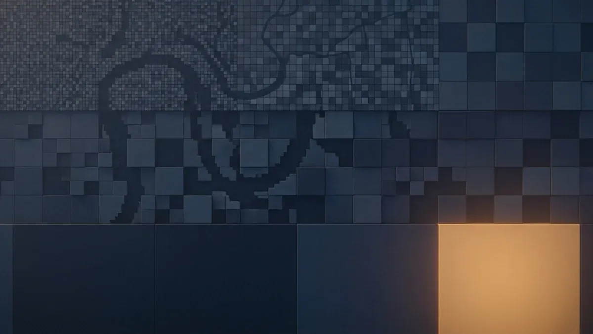
Resolution. Free means ten metres on Sentinel-2, thirty on Landsat, 250 on the daily MODIS imagery. A ten-metre pixel covers about the footprint of a small building plot. Structures show up as patches, roads as lines, large vehicles at best as a hint. Commercial operators reach thirty centimetres and do show individual cars, but that costs money, and even there faces and plates are out of reach.
Revisit time. Earth observation satellites in low orbit circle the planet in around a hundred minutes, seeing a different strip each pass. Days go by before the same place comes back under the track. Sentinel-2, with two satellites, manages every two to five days. Landsat needs sixteen. Processing adds its own delay before a scene appears in a portal.
Cloud. Optical sensors see cloud, not the ground below it. Across northern Europe average cloud cover runs above sixty percent, and in tropical regions during the wet season it is far worse. An event that unfolds under a closed deck simply does not appear in optical imagery. Radar satellites such as Sentinel-1 punch through, but they return greyscale backscatter that is genuinely hard to interpret without training.
There is a fourth limit, less technical than the others. A satellite image shows a state, never a cause. A patch of forest that has gone could be logging, a storm, or a fire. What you see is the change. The explanation comes from elsewhere, and that is exactly where the mistakes happen when a single frame gets promoted to a story too quickly.
The other direction
Turn the perspective around. If open imagery lets you check a claim, it lets anyone else do the same, and occasionally the subject is you.
For the satellite layer itself the worry is mild. At ten metres a house is a bright smudge with a recognisable roof outline and little more. Aerial photography flown from aircraft is a different matter, and street-level imagery more so again, because both are captured obliquely and from low altitude, which brings windows, vehicles and gardens into view. Those are also the layers where the large providers actually run opt-out processes.
The bigger lever sits somewhere else entirely. A photo carrying GPS coordinates in its metadata pins a location to within a few metres, while the best free satellite scene of that same spot stops at ten. What a single company assembles about your daily movements is laid out in What Google Knows About You. The file on your phone is more precise than any satellite.
What is left
The sentence worth keeping: the tool enables you, it does not think for you. A satellite image is one data point. It becomes solid when you cross it with other sources, know its acquisition date, and stay honest about what the resolution can carry.
In practice: next time a story feels too smooth, open two tabs. The reverse search tells you whether the picture is old. Worldview or FIRMS tell you whether anything was visible at that place on that day. It takes a few minutes and replaces nobody’s fact-check. What it does is remove your dependence on somebody else doing the checking for you.
And there is a side effect that justifies the time on its own. Once you have seen what your own town looked like thirty years ago, you look at the place differently.
Frequently asked questions
- Where can I get free satellite imagery?
- Four places cover almost everything you can do without a budget. NASA Worldview (worldview.earthdata.nasa.gov) serves daily global coverage from the MODIS and VIIRS sensors with a time slider reaching back to 2000, no account needed. The Copernicus Browser (browser.dataspace.copernicus.eu) carries European Sentinel data at roughly ten metres with proper time series, behind a free registration. USGS EarthExplorer (earthexplorer.usgs.gov) holds the Landsat archive going back to 1972 and is where you go for old scenes. Zoom Earth (zoom.earth) repackages current weather satellite feeds for people who do not want to learn a portal.
- Is there real-time satellite imagery?
- Not in the sense the phrase suggests. Anything advertised as live is the most recent frame available, and depending on the source that is between ten minutes and several days old. Geostationary weather satellites come closest, because they hover over one face of the planet and deliver a fresh full-disc image every ten to fifteen minutes. Earth observation satellites in low orbit, such as Sentinel-2 or Landsat, only pass over a given spot every few days. Add cloud cover and the practical gap stretches to a week or more.
- How do I find historical satellite images of a location?
- For genuinely old imagery, USGS EarthExplorer is the place. The full Landsat archive starts in 1972, which gives many locations five decades of coverage. You drop a pin, set a date range, filter by cloud cover and download the scene. For a quick visual scrub without registering, the timeline in Google Earth is easier, since it presents the years as a slider, though the dating is patchy and the imagery is commercially licensed. The Copernicus Browser covers 2015 onward at much better resolution.
- Can you see people or cars on satellite images?
- Not on the free data. Sentinel-2 resolves about ten metres per pixel, so a car does not fill a single pixel. Landsat sits at thirty metres, the daily MODIS imagery at 250. Commercial operators reach thirty centimetres, which makes individual vehicles visible as small blocks, but faces and number plates are beyond that too, and those scenes cost money. The film scene where somebody zooms from orbit onto a face is not a thing.
- How do I verify that a photo or video is actually recent?
- Three steps handle most cases. Start with a reverse image search, because if the same frame appeared in an article three years ago the question is settled. Next, compare the visible surroundings against a satellite view of that location: do the buildings, the road layout and the vegetation match? Finally check plausibility of weather, season and shadows. A picture with clear skies and full foliage does not fit a day when that region was overcast and the trees were bare.
- Which satellites show the weather?
- Weather comes from geostationary satellites: the GOES series over the Americas, Meteosat over Europe and Africa, Himawari over Asia and the Pacific. Their output arrives ready to read on Zoom Earth, which layers rain, wind and storm tracks on top and refreshes every fifteen minutes or so. NASA Worldview shows the same cloud deck on a daily cadence but adds analysis layers such as aerosols, snow cover and thermal anomalies. For the simple question of where a storm is heading, Zoom Earth is quicker.
- Is satellite imagery of my house a privacy problem?
- From orbit, not really. At ten metres per pixel a house is a bright smudge a few pixels across, and the roof outline is about all you get. Aerial photography flown from aircraft and street-level imagery are the sharper concern, because they are captured obliquely from low altitude and show windows, vehicles and gardens. Major providers run opt-out processes for street-level imagery. For the satellite layer in a mapping service, there is effectively no such route.
Continue reading

Username Search: How One Handle Ties All Your Accounts Together
A username search can link your gaming profile, old forum posts and dating account. How it works, what WhatsMyName finds, and how to check your own handle.

What Is OSINT? Open Source Intelligence From the Target’s Side
What is OSINT? The OSINT meaning explained from the side of the person being researched: how attackers build a profile and how to check your own trail.
Insecam and public webcams: why private cameras end up online
Insecam lists thousands of cameras nobody meant to share. How home cameras slip onto the open internet, and how to check that yours is not one of them.