How to Track a Private Jet, and Why Ships Go Dark
Anyone can track a private jet, because the jet broadcasts its own position. Where the data comes from, what reporters found, and who can hide from it.

Most people who want to track a private jet picture something difficult: insider access, a contact at the airport, maybe a paid database. In practice a browser tab is enough. Open one of the big flight tracking sites and thousands of small aircraft icons crawl across the map. Click one and you get a tail number, an altitude, a speed and often the airport it came from. Ship trackers look exactly the same, only slower.
That raises a question the tracking sites rarely bother to answer. Where does all this come from, and why is it public at all? The answer explains how a college student in Florida ended up in a fight with Elon Musk, how reporters found a sanctioned oligarch’s yacht in 2022, and why a tanker’s silence in the Baltic became evidence in a criminal case.
This article is part of our OSINT series, which has already covered free satellite imagery and how to check a claim with it. This time the subject moves, and it keeps telling everyone where it is.
Planes that announce themselves
The “radar” on a flight tracking site is not radar in any real sense. Nobody is bouncing signals off aircraft. The sites are listening.
Most airliners and a large share of smaller aircraft carry an ADS-B transmitter, short for Automatic Dependent Surveillance-Broadcast. The aircraft works out its own position from satellite navigation and broadcasts it several times per second, along with a fixed 24-bit identifier, its altitude and its speed. The intended audience is other aircraft and air traffic control. Since the whole point is to prevent collisions, the signal is open on purpose, with no encryption and no login, so that anything nearby can pick it up.
Flight trackers simply scale that up. They run networks of thousands of ground receivers, many of them set up by hobbyists. A small antenna on a roof, a cheap USB radio stick, a single-board computer, and the station hears everything in range, often a few hundred miles in open country. Each station forwards what it hears to a central server, and the map you see is stitched together from millions of those broadcasts.

Not every aircraft sends coordinates. Older or smaller planes sometimes carry only a basic transponder that reveals an identifier but no location. For those, networks use a technique called multilateration, or MLAT. When several stations hear the same signal, the tiny differences in arrival time are enough to work out where it came from. It is less precise than ADS-B and only works where receivers sit close enough together.
Ships have their own version, AIS, the Automatic Identification System. It broadcasts a vessel’s name, an identification number, position, course and speed over VHF radio. Under the international SOLAS rules it is required on every ship of 300 gross tonnage and up on international voyages, and on all passenger ships regardless of size. Part of the data, such as destination and expected arrival, is typed in by the crew, which is why you regularly see a stale port from the previous trip or nothing at all.
Track a private jet: what the signal gives away
The two systems look alike at first glance. They differ in exactly the places that matter for privacy and for research.
| ADS-B (aviation) | AIS (shipping) | |
|---|---|---|
| Who transmits | Aircraft with ADS-B Out, required in most controlled US airspace since 2020 | Ships of 300 gross tons and up on international voyages, all passenger ships |
| What the signal carries | Fixed identifier, position, altitude, speed, often a call sign | Name, ID number, position, course, speed, destination as entered by the crew |
| Who can listen | Anyone with a receiver in range | Anyone with a VHF receiver near the coast, satellites on the open ocean |
| Typical gaps | Small aircraft without ADS-B, areas with no receivers | Open ocean without satellite coverage, transmitters switched off |
| How to hide | Tracker block lists, substitute identifier, government flights may switch off | Turn the unit off, broadcast a false position or a false identity |
One thing appears in no row of that table, and it is where most bad conclusions start: who is on board. The signal knows an aircraft, not a person. Linking a flight to someone is an assumption, often a correct one. Jets are also lent out, chartered and leased, though, and then the trail leads straight to the wrong name.
What does reveal a lot is repetition. One flight is a snapshot. Watch the same jet for a few weeks and you learn its home airport, its favorite destinations, the days it flies and the hours it usually leaves. That is a movement profile, as telling for an aircraft as it would be for a phone, with the difference that nobody needs a warrant to read it.

An account, a jet and a rule written overnight
The best-known case started in 2020. Jack Sweeney, a student at the University of Central Florida, created a Twitter account called @ElonJet. A bot read the public flight data and posted automatically whenever Elon Musk’s jet took off and where it landed. That was all it did, and by December 2022 more than half a million people followed it.
Musk bought Twitter that fall. On November 6, 2022, he wrote that his commitment to free speech extended even to not banning the account following his plane, even though it was a direct personal safety risk. Five weeks later @ElonJet was gone.
On December 14, Twitter changed its rules to ban sharing another person’s live location. Musk tied the change to an incident in Los Angeles, where he said a “crazy stalker” had followed a car carrying his young son. According to The Washington Post, police found no evidence that the man had used the jet account. The encounter happened at a gas station about 23 hours after the jet had landed and roughly 26 miles from the airport.
The suspension went ahead anyway: the bot, Sweeney’s personal account, and soon after that several journalists who had written about the affair. The data itself stayed put. It remained on every tracking site that did not filter, and Sweeney kept publishing it on other platforms and later, with a 24-hour delay, on Twitter again.
Yachts in the spring of 2022
A few months earlier the same data had taken on heavier work. After Russia’s full invasion of Ukraine in February 2022, Western governments sanctioned Russian oligarchs, and a lot of people suddenly wanted to know where their planes and yachts were heading.
Sweeney launched another account, @RUOligarchJets, to follow the jets of sanctioned businessmen. For the yachts, the wire services took over. On March 21 and 22, 2022, Reuters and others used ship tracking data to report that two yachts linked to Roman Abramovich were off the Turkish coast. The Eclipse, at 533 feet one of the largest yachts in the world, docked in Marmaris after skirting the Greek islands. Turkey had not joined the Western sanctions.
This is what the data does well. It answers “where” with remarkable precision, and anyone can check the answer. It says nothing about “why”. Reading a voyage as an escape from European authorities takes sanctions lists, statements from port officials and ordinary reporting. The transponder only supplies the dot on the map.
Ships that go quiet
At sea the story has a second side, because AIS is a self-report. The ship says where it is, and nobody checks that claim in real time. Switch the unit off and the vessel vanishes from the map. Tamper with it and it can broadcast a false position or a false name, the same trick behind spoofed caller IDs, just on a ship.

That is what the so-called shadow fleet has been accused of for several years, a loose group of mostly aging tankers that move Russian oil around sanctions. A joint investigation led by the Dutch outlet Follow the Money found in December 2025 that Russia-linked vessels had six times as many extended AIS outages as comparable ships from several European countries. Most of the gaps, roughly 16,000, were in the Black Sea, but hundreds turned up in the Baltic, the North Sea and the Mediterranean. The reporters were careful to add that not every gap is suspicious. Reception drops, and equipment fails.
The tanker Eagle S shows what such a gap looks like in practice. According to the maritime analytics firm Windward, it was in the Russian port of Ust-Luga on December 23, 2024, and then its AIS went dark for ten hours. Around midday on December 25 it moved unusually slowly over Estlink 2, the power cable between Finland and Estonia, at the very moment the cable failed. Finnish prosecutors later accused the crew of dragging the anchor some 56 miles across the seabed.
The case also shows where the data stops. In October 2025 the Helsinki District Court threw out the charges, ruling that Finland lacked jurisdiction and treating the lost anchor as an accident. In August 2026 an appeals court reversed that decision, and no court has yet ruled on guilt. The track showed where the ship went and how fast. It could not show intent.
Who can hide from it
Going dark is much harder in the air. Since January 1, 2020, the FAA has required ADS-B Out in most controlled US airspace, and an aircraft that has the equipment must keep it transmitting. The exceptions cover sensitive government missions for defense, intelligence or law enforcement.
Private owners who want less attention have two options, and both have limits. The first is LADD, short for Limiting Aircraft Data Displayed. It is a block list: owners ask the FAA to keep their aircraft out of the data feeds it provides, and most commercial trackers honor the list and hide the plane. Nothing changes in the air, though. The FAA states plainly that LADD does not affect the ADS-B broadcast.
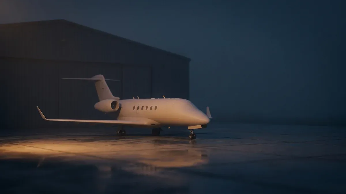
The second is PIA, the Privacy ICAO Address program, launched on January 1, 2020. Owners can request a temporary substitute identifier that is not tied to them in the FAA registry. The aircraft stays visible, but its code no longer points straight to a name. Two researchers in Switzerland took the program apart shortly after launch. Using crowdsourced receiver data, they were still able to identify and follow aircraft enrolled in it, which suggests the disguise is thin.
Then there are networks that do not filter at all. ADS-B Exchange was long the largest of them and the data source behind @ElonJet. In January 2023 the aviation data company JETNET bought it, which upset enough of its volunteer feeders that some of them started new unfiltered networks of their own. As long as somewhere there is an antenna whose owner does not filter, a block list is a polite request.
Where watching turns into something else
In December 2023, lawyers for Taylor Swift sent Sweeney a cease-and-desist letter, which The Washington Post made public in February 2024. It accused him of “stalking and harassing behavior” and argued there was no legitimate interest in the information, other than to stalk, harass, and exert dominion and control. In October 2024 Meta suspended his Instagram and Threads accounts that followed her jet and those of other celebrities, citing the risk of physical harm.
Sweeney replied that the data was public and showed where a plane was, not where Swift was, much like a published tour schedule. Both sides had a point. The data is freely available, and no letter changes that. Still, a single glance at a map is different from an account that announces, every time a jet lands, where a specific person has probably just arrived. What changes the picture is the bundling.
Trying it yourself, with some judgment
If you want to understand how all this works, start with your own sky. Open a tracking site, zoom to your area and wait for the next plane you can hear outside, then click on it. You will see its identifier, altitude, route and usually the aircraft type. Most services keep a few days of history, some a great deal more.
The curious can also become a receiving station. Build guides are freely available, the hardware is simple, and the cost is roughly that of a dinner out. Anyone who feeds data, though, also decides where it ends up and whether it gets filtered on the way. That is worth thinking about once before plugging anything in.
When reading the data, the same caution applies as with an IP address that only points to a rough area. An aircraft’s position is usually precise, the conclusions people draw from it often are not. A jet that lands somewhere at night tells you something about the jet first.
What stays
ADS-B and AIS were built so that aircraft and ships would not collide. The open world map of traffic they produce along the way was never the plan, and it has turned into one of the most powerful free research tools there is. It can check sanctions, follow tankers that would rather stay invisible, and now and then trail a billionaire’s jet.
So the next time you open one of these maps, you see more than colored icons. You see thousands of machines telling everyone where they are without being asked, and a few that have stopped. The second group is usually the more interesting one.
Frequently asked questions
- How can I track a plane live?
- The simplest route is one of the public flight tracking sites in your browser. Search by flight number, tail number or route, or just click an icon on the map. The position comes from ADS-B signals the aircraft transmits itself, collected by a network of ground receivers, so the display usually lags by only seconds. Over open ocean or in thinly populated areas the track can have gaps, because no receiver is in range there.
- Why do some planes not show up on flight trackers?
- There are several reasons. Small aircraft without an ADS-B transmitter often do not appear at all, or only with an estimated position. Military and government aircraft may switch their transmitter off on sensitive missions. And the big commercial trackers hide aircraft whose owners asked to be left out, in the US through the FAA program called LADD. Unfiltered networks still show those aircraft, because they pass on the raw signals without a block list.
- Is it legal to track planes and ships?
- Viewing tracker sites and receiving the broadcasts yourself is generally legal in the United States. ADS-B and AIS are unencrypted by design, so that other aircraft, vessels and ground stations can read them. The line runs elsewhere: using the data to follow, harass or intimidate a specific person can fall under stalking laws, and those do not care whether the information was public.
- Can you track a private jet?
- Often, yes. Private jets have to broadcast ADS-B in much of US airspace, and the signal carries a fixed code that can be matched to a registered owner through the FAA aircraft registry. Owners can request a rotating substitute code through the FAA program PIA, which is not linked to them in the registry. That makes the match harder but not always impossible. And a jet never tells you who is actually on board.
- What are ADS-B and AIS?
- ADS-B stands for Automatic Dependent Surveillance-Broadcast. The aircraft works out its position by satellite navigation and broadcasts it several times a second, together with an identifier, altitude and speed. AIS, the Automatic Identification System, is the counterpart at sea: a VHF radio system that reports a ship name, position, course and speed to other ships and coastal stations. Both were built to prevent collisions, which is why anyone can read them.
Continue reading

Username Search: How One Handle Ties All Your Accounts Together
A username search can link your gaming profile, old forum posts and dating account. How it works, what WhatsMyName finds, and how to check your own handle.

What Is OSINT? Open Source Intelligence From the Target’s Side
What is OSINT? The OSINT meaning explained from the side of the person being researched: how attackers build a profile and how to check your own trail.

Insecam and public webcams: why private cameras end up online
Insecam lists thousands of cameras nobody meant to share. How home cameras slip onto the open internet, and how to check that yours is not one of them.